.svg)
OUR SOLUTIONS
Bridging the gap between data and infrastructure operations.
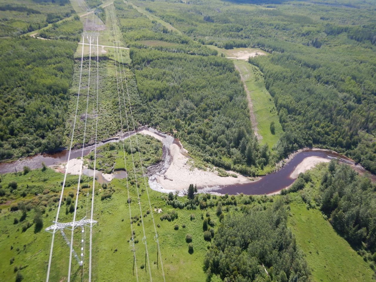
Integrated Site Monitoring

Get real-time situational awareness and corridor-scale surveillance with engineering tools to interpret and visualize subsurface, surface, and aerial data.
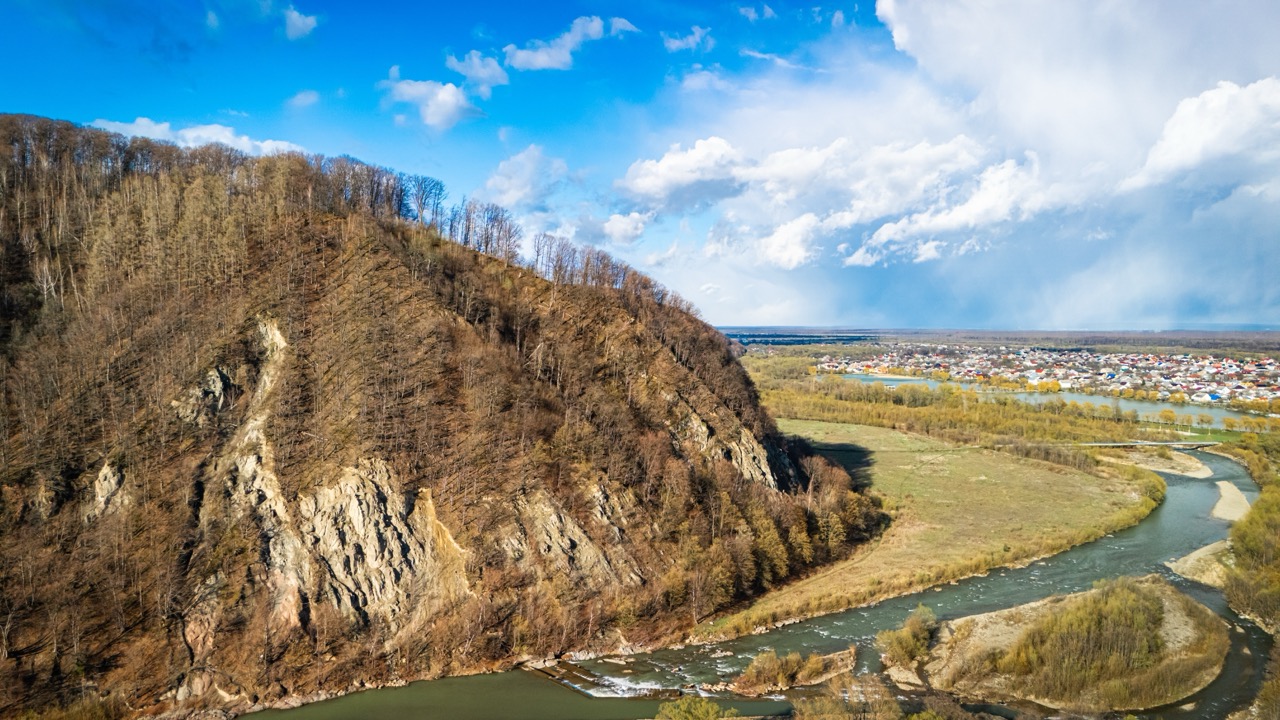
Geohazard & Asset Management
Track, assess and prioritize geohazard risks and asset integrity across sites, corridors, and regions to reduce incidents, streamline audits, and optimize resource.
Earthworks & Geotechnical Construction
Connect planning, design, monitoring, and response workflows to monitor progress and quality, streamline reporting, and enable long-term stewardship.
AI & Data Services
We serve and analyze large remote sensing datasets (e.g. lidar, InSAR), applying AI to automate insights at scale for high-confidence desktop inspections.


.png)